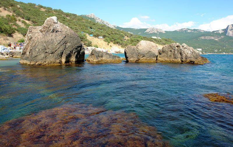
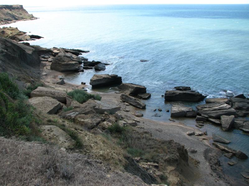
Cape Sarych
It is considered the southernmost point not only of the Crimea, but of all the land of Ukraine and the European part of the CIS.

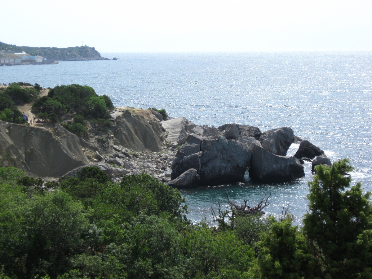
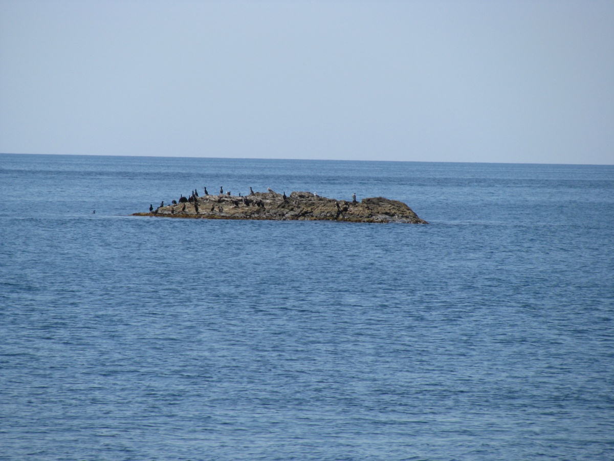
It is considered the southernmost point not only of the Crimea, but of all the land of Ukraine and the European part of the CIS. It is considered - since the southernmost de jure is made by a small rock island located south (300 meters). And without taking into account the islands, the southernmost point of de facto is Cape Nicholas, located to the east of Cape Sarych. The cape is composed of limestones of a rusty color. According to one version, the color of the stone gave the name cape: sary in Turkish means yellow. Another version says that the cape is named after the surname of Admiral Sarychev, the initiator of the construction of the lighthouse. The most reliable is the interpretation of the name of the cape from the Russian roots: in the explanatory dictionary of Vladimir Dal, the word sarych is given in the meaning of a bird of prey, a kite. Cape Sarych and the adjacent rocks are occupied by relic juniper woodlands. Along with the red-listed juniper high, the pistachio is a tusk, strawberry small-fruited, here grow a furry oak, grabinnik, dzhiderelevo, abundant jasmine shrub, emerald vyazel, Pontic needles. The coastal aquatic complex of the Black Sea between the Bay of Laspi and the Sarych Cape, together with small island rocks scattered in the sea to the south of the cape, was declared a hydrological nature monument (80.0 ha) in 1972.
Find the Best Professionals for Your Project
Expert repair, construction, and renovation specialists ready to help you right now